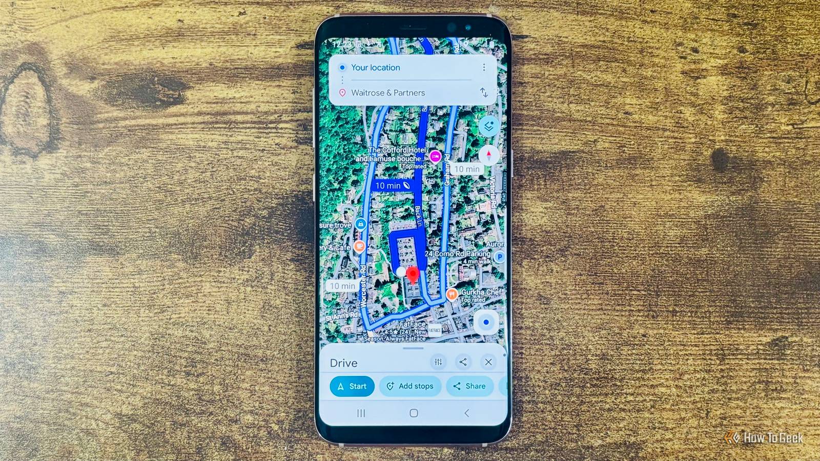
Knowing where you actually are can sometimes be a problem when you’re traveling. But that drawer phone gathering dust can outperform a purpose-built GPS unit, for the price of an app and a little setup time.
Why do you need an offline navigator?
Never be lost, anywhere you go
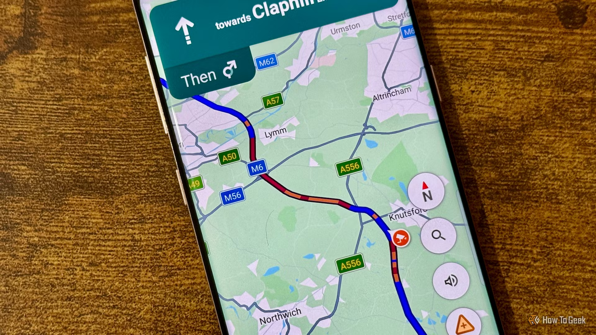
Cell service isn’t guaranteed everywhere, and that’s the core problem a dedicated offline navigator solves. Hiking trails, rural back roads, and international trips routinely drop you into dead zones or force you to pay steep roaming fees just to see a blue dot on a map. A phone’s GPS chip doesn’t care about any of that. It talks to satellites, not cell towers, so location fixes keep working even in airplane mode, which is exactly why an old Android device set up correctly can function as a capable standalone navigator.
The case for doing this rather than relying on your primary phone comes down to battery and risk. Turn-by-turn navigation with the screen on is one of the fastest ways to drain a battery, and running it constantly competes with the phone you actually need for calls, messages, and photos. A dedicated unit removes that trade-off entirely. It can stay plugged into a car charger or power bank, run maps continuously, and never touch your main device’s battery budget. If it dies, gets left in a rental car, or takes a drop off a bike rack, you haven’t lost your primary phone.
There’s also a cost argument. Purpose-built GPS units from brands like Garmin still sell for well over a hundred dollars, and many rely on proprietary map subscriptions that add ongoing cost. An old Android phone sitting in a drawer already has the hardware needed to match or beat that experience, and the software to make it work is largely free. For travelers who already own a spare device, the only real expense is a mount and possibly a memory card.
How do you put one together?
It’s easier than you think
The good part of this is that you don’t even need to do much of a hardware check. All your phone needs is a working GPS chip — I honestly can’t name a single phone that doesn’t have GPS. It does not need an active SIM card or cellular plan to use it, either, as GPS functions independently of cell service. What the phone does need, at least temporarily, is Wi-Fi, since that’s how you’ll download maps before heading offline.
For software, offline-first mapping apps have matured well beyond the old MAPS.ME days. Organic Maps is an open-source, OpenStreetMap-based app with no ads, no tracking, and no data collection, letting users download country or region packs with no limit on how many. It’s a reasonable default for most people. Power users who want more control get more out of OsmAnd, which is the power-user pick among offline navigation apps, offering vehicle profiles, multiple overlaid map layers, GPX track recording, and adjustable routing parameters. Either app should be installed and its maps downloaded while still connected to Wi-Fi, since installing the app alone doesn’t guarantee it will work without a connection later.
And honestly, if you don’t want to check out alternative apps, Google Maps has some pretty sick offline functionality as well.
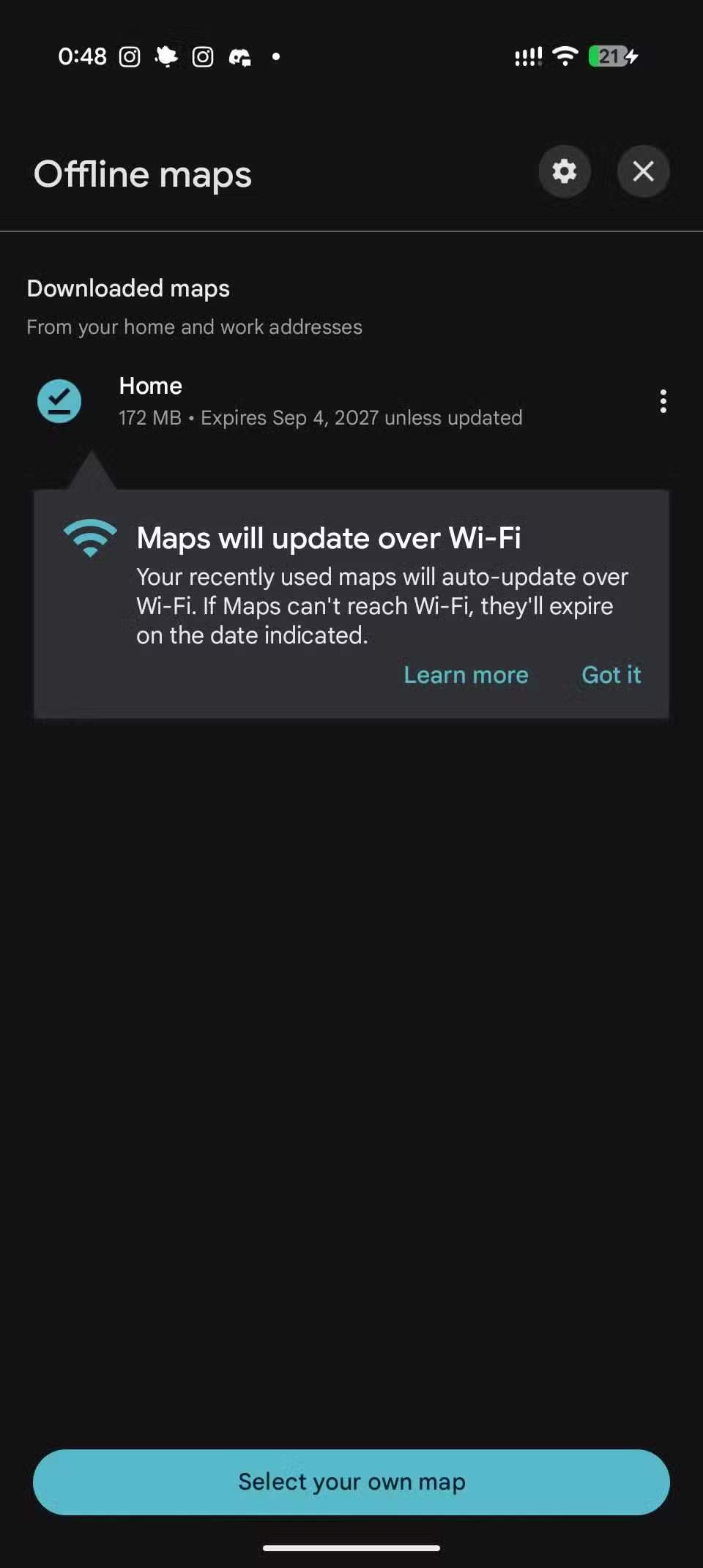
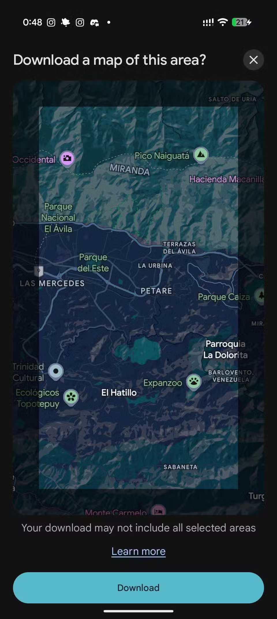
Once the maps are loaded, test everything in airplane mode before relying on it. Search for an address, request a route, and confirm the blue dot moves as you walk or drive. From there, the setup is mostly physical: a car vent or dash mount for driving, a handlebar mount for cycling, and a power source, whether that’s a car charger or a small power bank for hikes. Turning off cellular radios and background sync helps stretch battery life further, since the phone isn’t trying to find a network that isn’t there.
Should you do it?
A decent way to repurpose an old phone
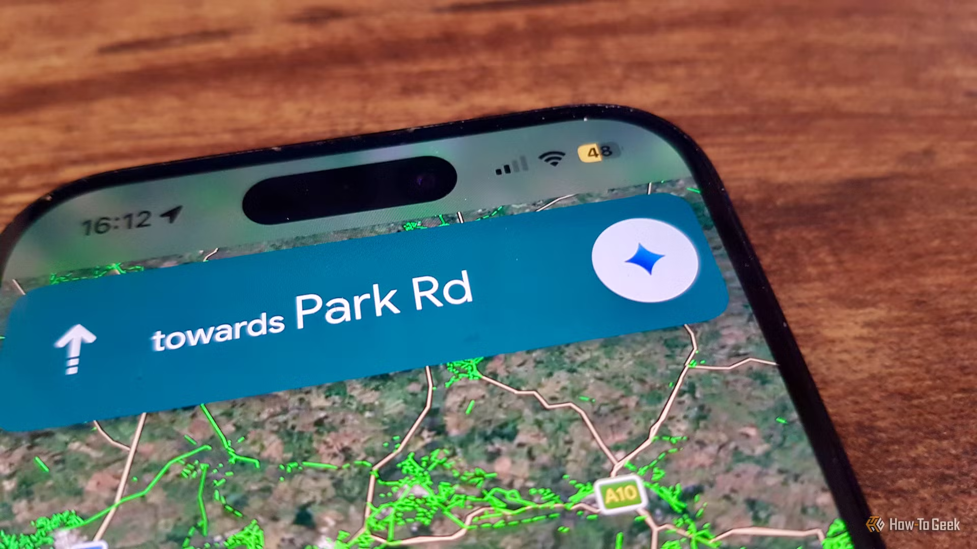
For most people who already own a spare Android phone, this is a clear yes. The setup takes under an hour, the software costs nothing, and the result is a navigator that doesn’t compete with your primary phone’s battery or expose it to damage on a bike mount or dashboard. It’s especially worth doing before international trips, where avoiding roaming charges alone can offset any minor inconvenience of carrying a second device.
Where it makes less sense is if the phone in question is old enough that its GPS chip is unreliable or its battery no longer holds a meaningful charge, since a device that dies after ninety minutes off the charger isn’t solving the problem it’s meant to solve. It’s also less useful for people who rarely leave areas with solid coverage, since the entire benefit hinges on situations where a cellular connection isn’t available.
The one caveat worth flagging before publication: recent versions of some offline map apps have added friction, including one review noting that Organic Maps’ latest version stripped house numbers and street names from its default style and pulled POI editing, so it’s worth checking current app-store reviews for the specific version being installed rather than assuming past praise still applies. Otherwise, this is a low-cost, low-effort project with a genuinely useful outcome.
An old phone, a real navigator
Skip the dedicated GPS. With the right free app and a few minutes of setup, that spare Android phone becomes a capable, battery-independent navigator for hikes, road trips, and travel abroad.